#Geospatial
2 articles
3D / Eng
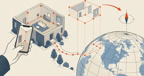
Mapping a Building by Phone and Finding True North with GNSS
ARCore gives room-corner coordinates in meters accurately enough to use, but its world frame has an unknown orientation, so the resulting plan is always rotated by some angle. The fix is to collect pairs of (AR position, GNSS reading) while working, then fit a rotation using weighted 2D Kabsch, with weights based on each fix's accuracy, to find both north and the origin's coordinates.
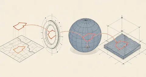
Import Land Parcel Boundaries from Government Maps into SketchUp
A SketchUp model with Add Location has satellite imagery but no parcel boundaries. This article covers fetching boundaries through OGC-standard WFS, where viewparams is required to avoid getting zero features, converting UTM47 coordinates to WGS84, and placing them in the model with latlong_to_point to line up with the imagery.