#WFS / OGC
1 articles
Web / CMS
Import Land Parcel Boundaries from Government Maps into SketchUp
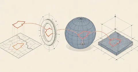
A SketchUp model with Add Location has satellite imagery but no parcel boundaries. This article covers fetching boundaries through OGC-standard WFS, where viewparams is required to avoid getting zero features, converting UTM47 coordinates to WGS84, and placing them in the model with latlong_to_point to line up with the imagery.