#Ruby
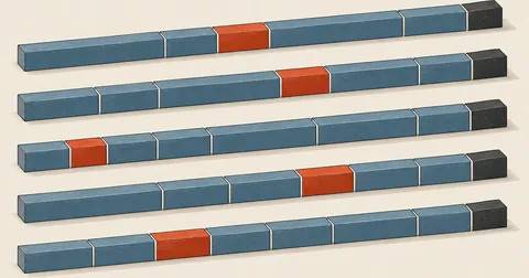
From Model to 6-Meter Steel Cutting Layout and Workshop Cut Sheet
Read part lengths from the model, consolidate duplicates, then arrange a first-fit decreasing cutting layout on standard 6-meter stock with a 3-millimeter saw kerf allowance, plus a notch-and-bend option for right-angle corners that reduces joints from 12 to 6
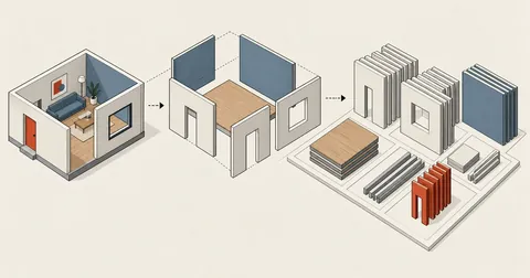
Quantity Takeoff from SketchUp Models with Ruby Scripts
A finished model already contains every number a quantity takeoff needs. Give groups readable names from the start, then write a script to grep through them, with two traps to watch for that can double your areas.
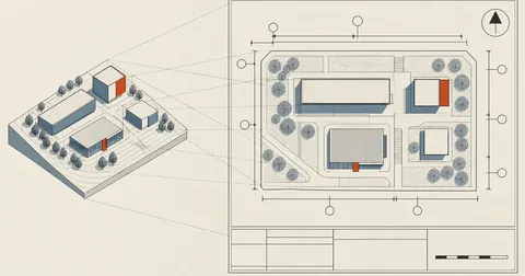
SketchUp Drawing Sheets with Automatic Labels and Dimensions
A finished model is not ready for submission yet. What the authorities accept is a set of paper sheets with building numbers, dimension lines, a north arrow, and a scale. This article covers extracting geometry from the model as numbers, rendering a top ortho view as black lines on white, and letting a script place numbers and dimension lines without overlaps, with overrides for individual items.
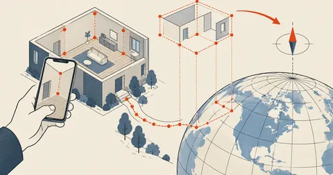
Mapping a Building by Phone and Finding True North with GNSS
ARCore gives room-corner coordinates in meters accurately enough to use, but its world frame has an unknown orientation, so the resulting plan is always rotated by some angle. The fix is to collect pairs of (AR position, GNSS reading) while working, then fit a rotation using weighted 2D Kabsch, with weights based on each fix's accuracy, to find both north and the origin's coordinates.
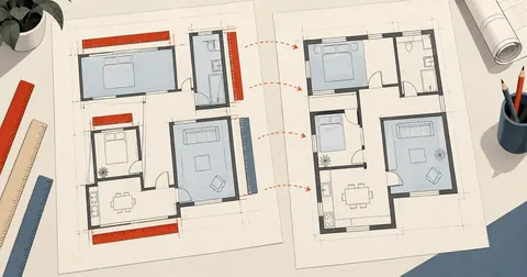
Rebuilding an Off-Scale PDF Plan at Real Dimensions
Presentation plans are often drawn block by block, with different scales for the x and y axes and different scales again for each room. Calibrating the whole page once and tracing it gets everything wrong. This article covers extracting coordinates from paper into metres by recalculating the scale for every room, counting objects with colour-blob BFS instead of by eye, and drawing them back into a model at their real dimensions.
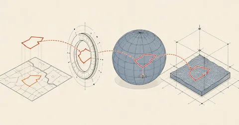
Import Land Parcel Boundaries from Government Maps into SketchUp
A SketchUp model with Add Location has satellite imagery but no parcel boundaries. This article covers fetching boundaries through OGC-standard WFS, where viewparams is required to avoid getting zero features, converting UTM47 coordinates to WGS84, and placing them in the model with latlong_to_point to line up with the imagery.